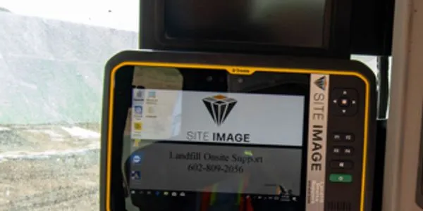
Site Image
Streamline your landfill operations with our on-site GPS system, designed to simplify surveying, improve accuracy, and boost efficiency.
Products
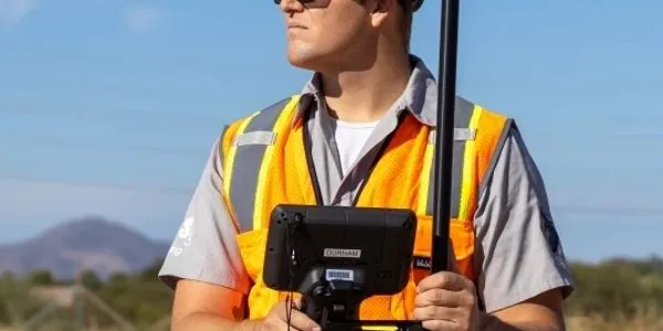
Managers GPS System
The system utilizes a subscription basis to satellite coverage; there is no base station to set up like a conventional GPS system. Simply power on the GPS head unit and data collector, wait a few minutes for it to initialize satellites, and you are ready to go.
Machine GPS System
Great for Compactors System utilizes a subscription basis to satellite coverage; there is no base station to set up like a conventional GPS system. Move the system easily from machine to machine if one goes down. landfill GPS system.
")
Who We Are
About Us
At Site Image, we specialize in innovative construction control solutions designed to meet the evolving needs of landfill operations. With decades of industry expertise, we provide reliable systems for landfill gas management, leachate control, and precision GPS surveying.
Our Goal
What We Strive For
Our mission is to help operators improve efficiency, maintain compliance, and promote environmental sustainability through cutting-edge technology and hands-on support
Landfills Using Our System
Years of Experience
Our Work Area
FREE 30-Day Demo
Simply call us to start your free, no-obligation 30-day on-site demo.
24-7 Customer Support
Any questions the user has, they will be able to call Site Image’s office for support. Site Image can view the screen live at the same time as the user to quickly resolve any questions.
Models
Models are built and loaded onto the GPS unit by Site Image as part of the subscription cost. If an updated fill plan is provided by the engineer, Site Image will create the grading model and remotely load it on the unit.